Indiana University of Pennsylvania is offering two concurrent historical archaeology field schools at the site of Newport (36IN188), Pennsylvania. This field school is certified by the Register of Professional Archaeologists.
May 25–June 27, 2026 (Monday through Saturday)
This field school is open to all. You do not need to be an IUP student to apply.
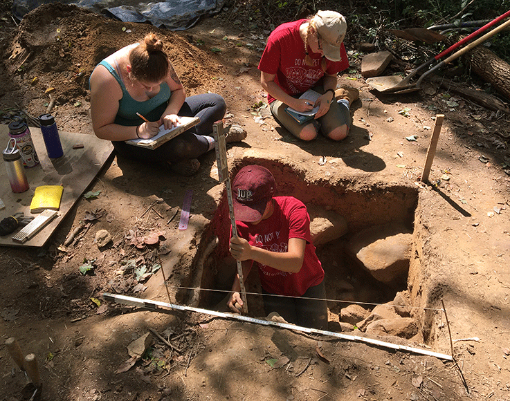
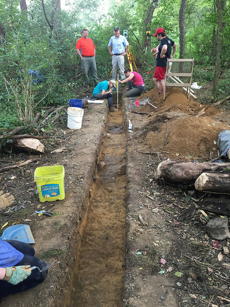
 Newport, located near Blairsville, Pennsylvania, was founded circa 1790 and served as an important river town until the early nineteenth century. The town included several businesses, a hotel, a post office, and a wharf. The site is now completely abandoned. This year's archaeological investigations will include shovel test pits, excavation units, geophysics, metal detecting, photogrammetry, and artifact analysis to identify the site boundaries and specific structures. Students will be exposed to both traditional and high-tech techniques with the goal of preparing them for cultural resource management and academic careers.
ANTH 320/520 Archaeological Field School (6 credits)
An introduction to archaeological survey, field excavation, and laboratory processing. Required for all IUP Archaeology Track students or graduate students without significant field experience.
ANTH 740 Advanced Archaeological Field Methods (4 credits)
 Advanced instruction in survey and excavation field methods and technology, with an emphasis on the application of research designs to field settings, and the logistics of supervising field projects.
Cost
Cost is variable depending on credits and undergrad or grad level. The cost can be estimated using the Summer Tuition website. Housing may be available through the IUP Office of Housing, Residential Living, and Dining or can be obtained individually.
Registration
Visit the Summer Sessions website.
For additional information, contact Professor Ben Ford at ben.ford@iup.edu.
Previous Research at the Newport Village Site
 Newport is important for several reasons. It was an early trade hub in western Pennsylvania connecting the Frankstown Road to the Conemaugh River. The Frankstown Road ran east to the Juniata River, providing a link to the Susquehanna River and the Chesapeake Bay, while the Conemaugh River eventually joins the Allegheny River flowing past Pittsburgh and into the Ohio River. Sitting at the juncture of the Frankstown Road and the Conemaugh River, Newport helped connect the eastern and western United States and facilitated the movement of people, materials, and goods to, from, and through what was then the frontier. As other transportation routes developed, including roads, canals, and railroads, Newport was left behind and eventually abandoned. Its short occupation at a pivotal time in western expansion, makes it an excellent site to investigate life, commerce, and industry on the American frontier.
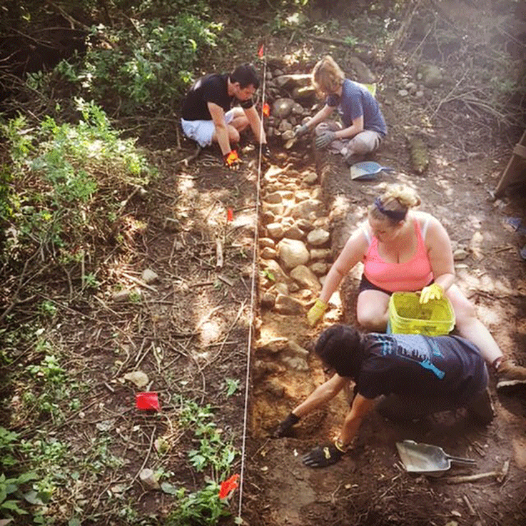
The 2019 field school at Newport made significant discoveries about the village's layout. The archaeologists identified two roads through the village, one paved with cobbles and the other banking down the slope to a now-submerged natural stone wharf. Through test pits, geophysics, and excavation units, the students also identified the footprint of the store and post office building near the center of the site. The two roads and the store/post office location allow us to link historic descriptions of the town to the modern landscape. The store also produced a significant number of artifacts, including ceramics, glass, and animal bones, that show the linkages between Newport, the surrounding areas, and trade networks that stretched to the eastern United States and Britain. Finally, the excavations uncovered evidence of long-term occupations at the site with pre-Contact stone tools and chipping debris revered from throughout the site.
In 2021 we investigated three buildings: the hotel, the store, and a possible house. All three produced a large number of artifacts that told us much about food, life, and leisure on the Pennsylvania frontier. We were also impressed by the substantial foundations of the buildings—the people of Newport clearly believed their town would last. We were also able to identify several additional structures through ground-penetrating radar (GPR).
In 2023 we excavated three structures identified with the GPR and did additional GPR and shovel test surveys to define the extent of the town center. We partially excavated the foundation of the hotel, finding it to be a deep and complicated feature that contained a plethora of artifacts. These artifacts are helping us understand Newport's role in western trade, as well as the aspirations of the townspeople. In 2023 we also tested an adjacent field with shovel test pits and GPR to better define the boundaries of the site.
In 2026 we plan to return to the store and post office foundation to further define the size of this building and to gather additional information about the economics of Newport. We will continue to use shovel test pits and GPR, both important techniques in cultural resource management, to define the site boundaries and identify areas for future investigations.

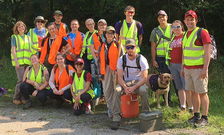
Field School Students