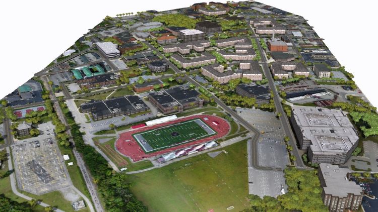
Students in John Benhart's Technical Issues in Geographic Information Systems class spent the spring 2020 semester building a spatially accurate, three-dimensional base map of the IUP campus.
Students Brandon Dykun, Greg Erwin, and Kyle Heckert utilized Small Unmanned Aerial Systems, (sUAS, commonly called drones), global positioning systems, and data provided by the IUP Office of Engineering and Construction to build the spatial database, which they used to three-dimensionally model the physical environment of the IUP campus.
The drone-acquired data yielded 1.3-inch resolution orthophotography and a 2.4-inch digital terrain model, which was integrated with sub-foot horizontal accuracy GPS data regarding the location of campus features, including buildings, roads, sidewalks, vegetation, public safety infrastructure, and other environmental phenomena to build the base mapping layers.
Despite not being able to meet in person after spring break, Dykun, Erwin, and Heckert were able to successfully build the 3-D model of campus using the above data and Environmental Systems Research Institute ArcGIS 10.7 and CityEngine 8.1 software, and they hope that it could serve as an accurate geographic platform for virtual navigation of the IUP campus.
View the three-dimensional spatial database of IUP.
